Mining

Surveying and Mapping
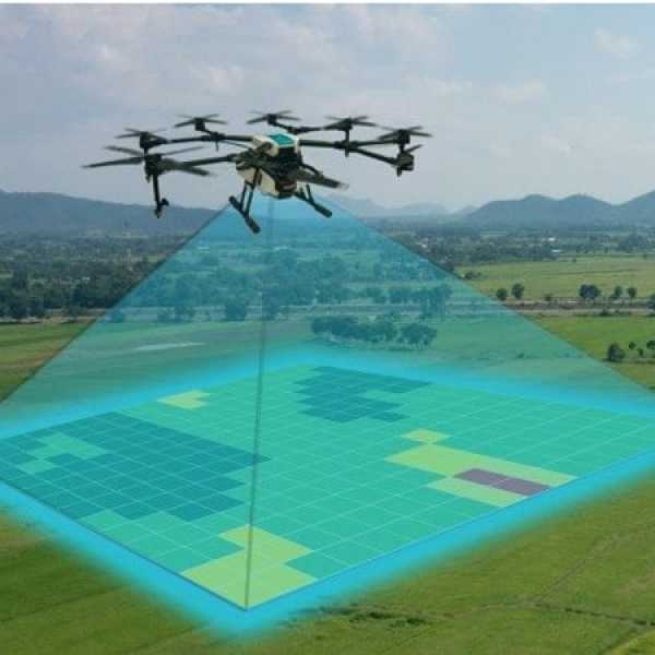
Drones equipped with advanced imaging technologies such as LiDAR (Light Detection and Ranging) used to capture rapidly and accurately create detailed topographic maps and 3D models of mining sites. These maps help in planning, design, and monitoring of mining operations
Stockpile Management
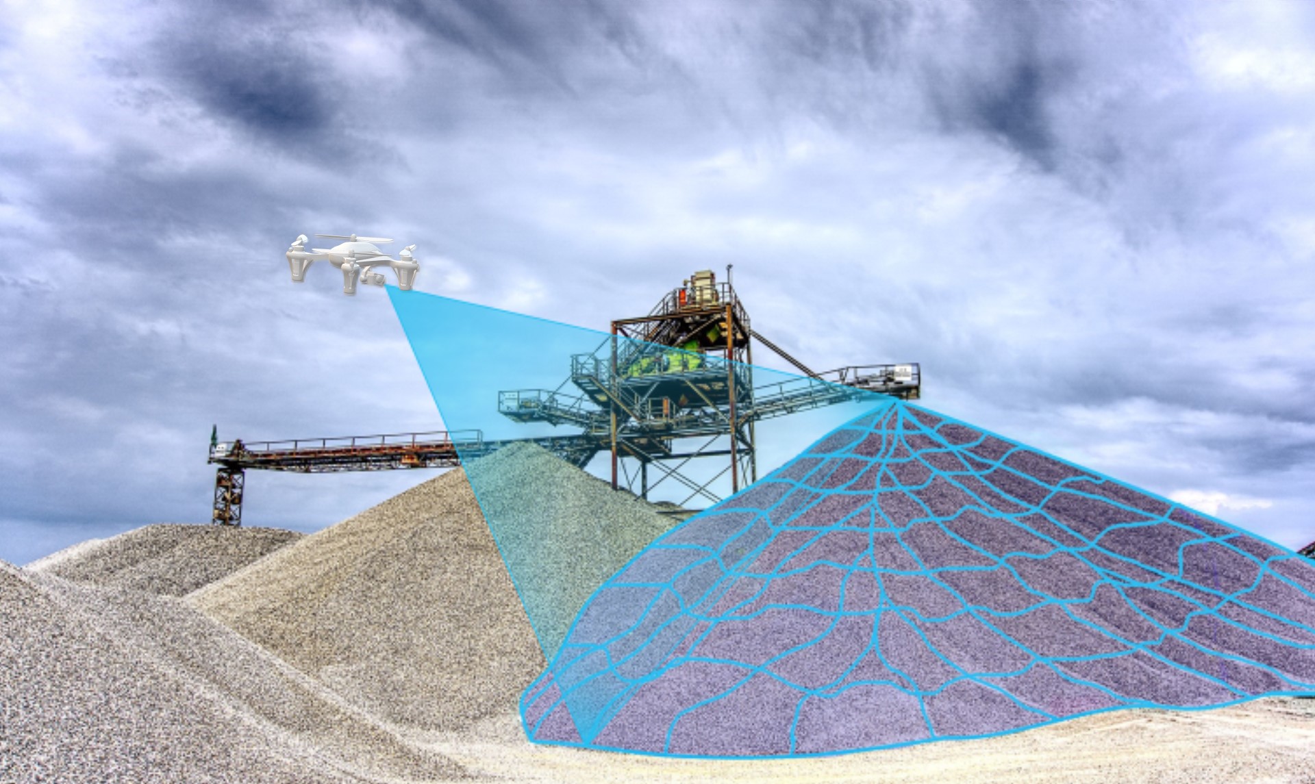
Efficiently measure the volumes of stockpiles of materials such as minerals, aggregates, and ore. This information is crucial for inventory management and ensuring accurate material accounting. Analysis provides 2D maps and 3D mesh for insights and calculations.


Pit Design and Progress Monitoring
Drones used to capture regular updates of open pit mining operations, enabling real-time monitoring of excavation progress, slope stability, and overall site conditions, including assessing water quality, tracking changes in land
Our Solution
We provide accurate 2D and 3D mesh data after compiling can integrating the data.
Our solution provides analytics after processing the outliers and vegetations removal which helps customer to find accurate insights

