Transforming and Enriching Drone data into actionable insights

Our innovative drone solutions redefine what's possible, delivering unparalleled accuracy and efficiency to transform the way you work

Who we are?

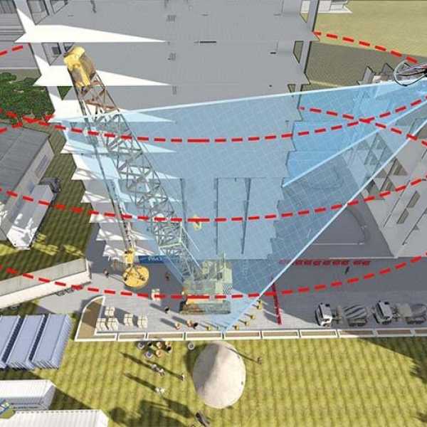
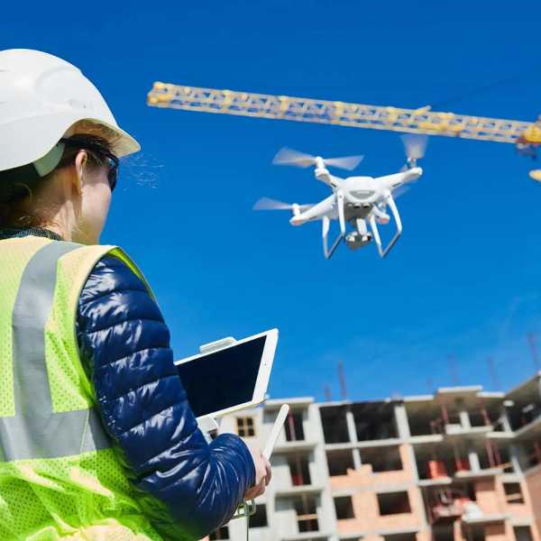
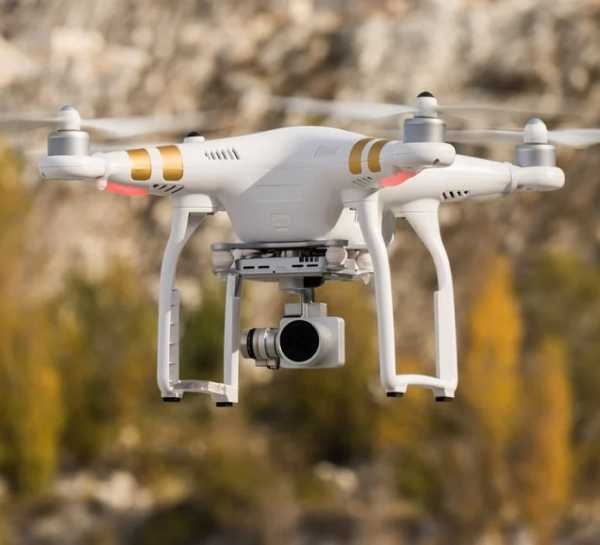
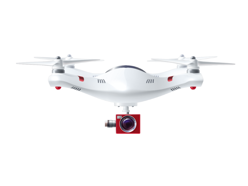
DroneVizor provides data processing and enrichment of data captured by Drone Survey and Data Analytics. Drone data analytics involves collecting, processing, and interpreting data captured by drones to gain insights, make informed decisions, and solve problems in various industries. Drones equipped with cameras, sensors, and other data-capturing devices can provide valuable information for a wide range of applications.

Our Solution

Elevating Possibilities with Our Unique Solution

Data Capture & Cleanse

Capture, Cleanse and Validate

Data Processing

Integrate, Remove Outlier and Process

Data Analytics & Visualization

Visualize Processed Data

Service Sector

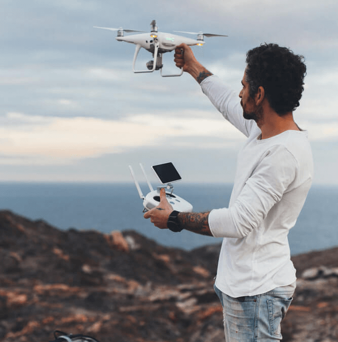
Drone As a Service

Security & Surveillance

Drone surveillance provides real-time insight into security and emergency situations for better control, accurate intelligence gathering, comprehensive situational awareness, and more informed decision making.

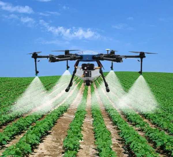
Agriculture

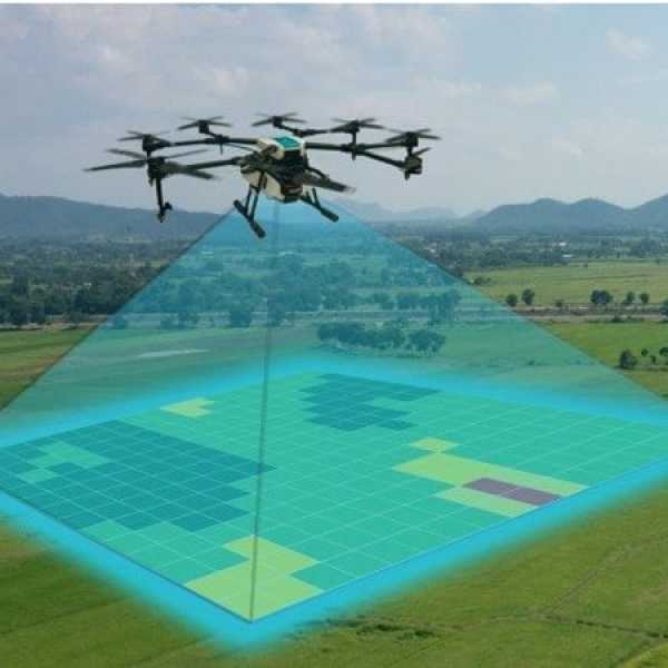
Drones have the potential to significantly increase efficiency and sustainability in agriculture. However, successful implementation requires proper training for drone operators, adherence to regulations. Our service provides well trained pilots and multispectral drone to capture data and integration of drone data and the ability to interpret and act upon the insights provided by the collected data

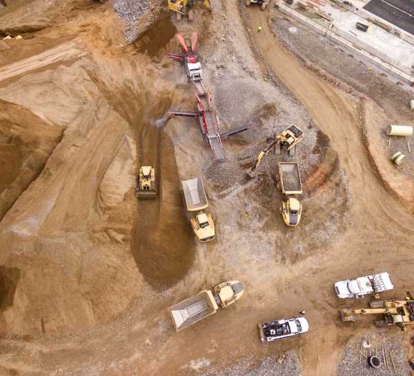
Mining

Drones have become valuable tools in the mining industry, offering numerous benefits in terms of safety, efficiency, data collection, and cost savings. Here are some specific ways drones are used in mining

Infrastructure

Drones have the potential to significantly increase efficiency and sustainability in agriculture. However, successful implementation requires proper training for drone operators, adherence to regulations. Our service provides well trained pilots and multispectral drone to capture data and integration of drone data and the ability to interpret and act upon the insights provided by the collected data

Benefits

Why to choose DroneVizor

One-Stop Solution

We provides solutions from Drone Mission Planning, to Processing and Analyzing

Guaranteeing Safety

It guarantees uninterrupted security throughout the entire process, seamlessly spanning from data capture to processing

Easiest & Distinctive

Its interface has been meticulously crafted for ultimate simplicity, allowing users to concentrate on their tasks without distraction

Testimonials

See What Our Happy Customers Say

DroneVizor use of cutting-edge drone technology has revolutionized the way we conduct dam inspections. The high-resolution imagery and data captured by their drones allow us to identify even the smallest issues, which might have otherwise gone unnoticed. Post processing comprehensive report helped us address maintenance and repair needs proactively.

Sunil Kumar Rout

Maruti estate had the privilege of collaborating with various mapping and surveying companies, but my experience with DroneVizor has truly been unparalleled.

DroneVizor’s drone real estate mapping services has provided the stunning aerial imagery and 3D models which helps us captivate potential buyers but also provide a clear and immersive view of the property’s features and constructions progress.

I recommend DroneVizor to elevate your real estate business and provide a competitive edge aerial mapping solution.

J.P Singh

Let's Start Working Together!

Are you ready to take the first step towards achieving remarkable results together? Let's initiate our partnership now and pave the way for shared success